
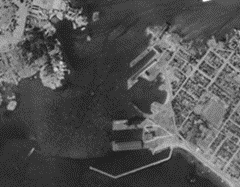
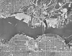
Aerial Photography
Since the 1920s, aerial photography has been used to view Canada from the air. This important collection of historical photographs can help us answer the following questions:
- How much of the land was used for agriculture?
- Were natural areas converted for agricultural or residential use?
- Have waterways been modified or disturbed?
- How have villages, towns and cities developed?
Most Government of Canada photographs exist only in hard copy and are stored at the National Air Photo Library in Ottawa. Some aerial photographs are available through our Data Cube which enables you to view changes in the land across different dates.
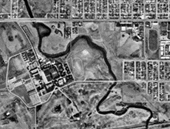
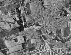
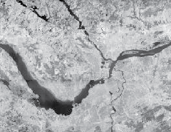
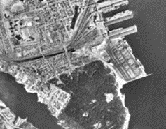
Regina, Saskatchewan
Explore how the city's development influenced the course of Wascana Creek between 1947 and 1967.
For more information
Contact us
For more information, please send an email to geoinfo@nrcan-rncan.gc.ca.
Report a problem on this page
- Date modified: